BEAUTIFUL CASTRIL
CASTRIL - ACTIVITIES FOR EVERYONE | 
|
BEAUTIFUL CASTRIL | |||
| |||
 | Route 11 - Barranco de Túnez. |
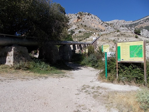 | Time: 0 mins. Location: Cortijos del Nacimiento. GPS: 520841 / 4185490 | Comments: We start at the cortijos at the end of the road that passes for about 7km along the Castril valley. See Route 5 |
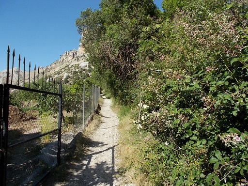 | Time: 0 mins. Location: Cortijos del Nacimiento. GPS: 520841 / 4185490 | Comments: Our walk starts by passing under the water pipe by the information signs, and following the path which has a fence on the left and irrigation canal on the right. |
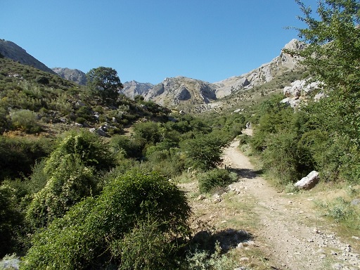 | Time: 10 mins. Location: End of fence. GPS: | Comments: When the fencing ends, we find ourselves in the middle of the Castril valley with majestic cliffs to the left |
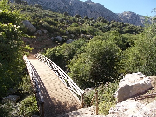 | Time: 15 mins. Location: Bridge. GPS: 522294 / 4194577 | Comments: We follow the path with the river on our left, using the footbridge which can be seen from the path. |
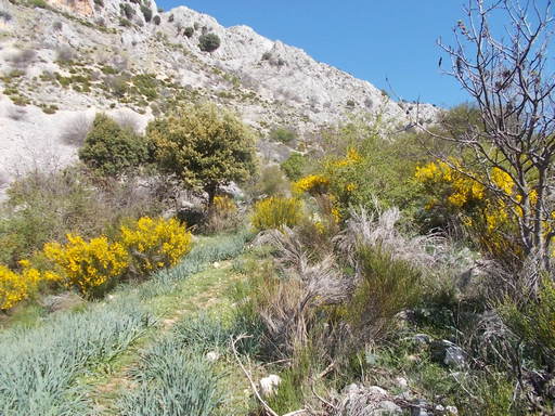 | Time: 25 mins. Location: Zig-zag path. GPS: 521897 / 4195032 | Comments: After crossing the bridge, we find a path that zig-zags upwards to the cliffs. The path takes us through various species of broomwood, wild roses, and some Spanish oaks. As we come to the base of the cliffs we find a path going to the left. We take this path. |
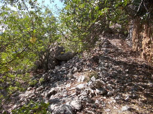 | Time: 30 mins. Location: Shady spot. GPS: | Comments: This is a good place to rest in the shade, take some water and cool down after the climb from the river. |
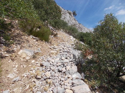 | Time: 35 mins. Location: Steep climb over scree. GPS: | Comments: We follow the path, which takes us over some sharp scree, slowly zig-zagging up the side of the cliff. |
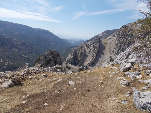 | Time: 1hr 10 mins. Location: El Chinar. GPS: | Comments: At the top of the path we find ourselves looking down on El Chinar, and if we are not already breathless, the view will make us so. We follow the path, which is hard to see at this point. Also, it descends towards El Chinar which is a bit disappointing after the hot climb. Avoid climbing up the rocks to the right as what looks like a path is a trick of nature. |
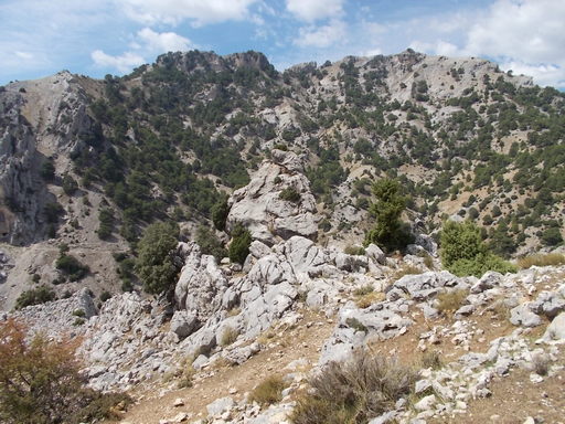 | Time: 1hr 20 mins. Location: Rocks above Barranco de Túnez. GPS: | Comments: We follow the path round to the right until we come across two posts, the first one with an arrow indicating the rest of our route. By walking downhill to the stones at the bottom of the slope, we get an ideal view of El Chinar and the Cerrada de Túnez. |
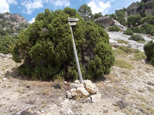 | Time: 1hr 40 mins. Location: T junction. GPS: 521161 / 4195098 | Comments: Following the path from the post we find ourselves following the Túnez valley. When we come across a post that looks very sorry for itself, we follow the upper (right) path onwards. There are a couple of places here where the stones are loose and which require some care to avoid a fall. |
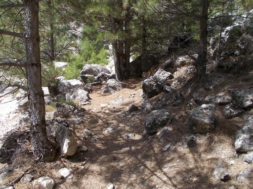 | Time: 1hr 50 mins. Location: Possible rest stop. GPS: | Comments: We come across a wooded area which would be suitable for a rest or a meal-break due to the shade. |
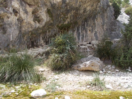 | Time: 2hr 0 mins. Location: Túnez gorge. GPS: | Comments: Following on along the path, we eventually come across the river. If there has been little or no rain for some months then it will be possible to scramble into the gorge, ensuring that there is not a storm forecast. |
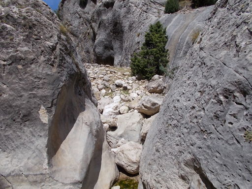 | Time: 2hr 15 mins. Location: Río Túnez GPS: | Comments: After scrambling up through the gorge we find ourselves following the river uphill. |
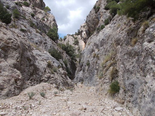 | Time: 2hr 30 mins. Location: Further up the river. GPS: | Comments: It is now a matter of how far we feel safe to go as the next two gorges require some climbing over boulders etc. The route carries on for some distance and access is possible by scrambling up the banks at the side of the gorges. |
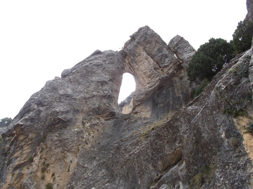 | Time: 2hr 40 mins. Location: End of walk. GPS: | Comments: Finally, we turn round and return via the same path and route that brought us here. End of walk. |