 | Time: 0 mins.
Location: Castril town centre
GPS: 519447 / 4183159 | Comments:
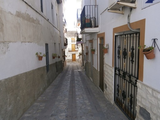
We start in the centre of Castril town facing South with our backs to the Town Hall (Ayuntamiento). We follow Calle Alarcón past the Carnicería on the right to the end of the street. |
 | Time: 2 mins.
Location: Castril town.
GPS: | Comments:
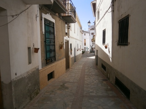
At the end of Calle Alarcón, we turn right and follow until we find a left turn. |
 | Time: 2 mins.
Location: Castril town.
GPS: | Comments:
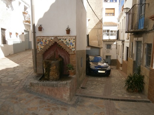
We find a spring which has been made into a pleasant feature. Turn hard left here. |
 | Time: 4 mins.
Location: Castril town.
GPS: | Comments:
At the end of this street we turn right and right again. At the end of this street we can see the Castril Valley to our left. |
 | Time: 5 mins.
Location: Castril town.
GPS: | Comments:
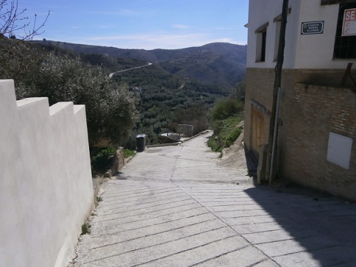
We are now at the top of a steep concrete road with fields on our left and some houses on the right. |
 | Time: 7 mins.
Location: Heart attack hill.
GPS: 519583 / 4182927 | Comments:
We follow the road until we come to a junction where we turn left. This road then takes us round and down to the valley itself. |
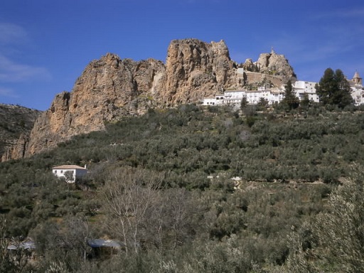 | Time: 10 mins.
Location: Head of southern Castril Valley.
GPS: | Comments:
As we follow the road we can see the town of Castril up to our right. |
 | Time: 20 mins.
Location: Eastern banks of Rio Castril.
GPS: 519654 / 4181907 | Comments:
Enjoying the walk, which has now taken us into the countryside, we can see fields of lime trees that are used as a crop, olive and almond trees, old cortijos in various stages of destruction. At one point we come across an area of road that has been repaired with yellow stone. |
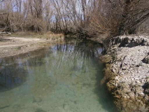 | Time: 50 mins.
Location: Rambla.
GPS: 519242 / 4180260 | Comments:
We now arrive at the rambla - a dried up river bed. We can have a rest by the river for five minutes.
After resting, we continue up the hill to the right. |
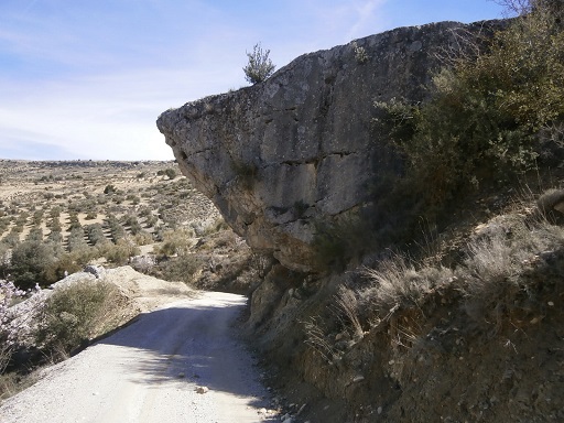 | Time: 1hr 20 mins.
Location: Hanging Rock.
GPS: 519067 / 4178391 | Comments:
We pass under 'Hanging Rock' enjoying the views down the valley to the South. |
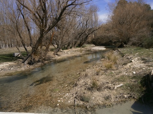 | Time: 1hr 40 mins.
Location: Castril River Bridge.
GPS: 518455 / 4177935 | Comments:
We arrive at the half-way mark of the walk. On our right we see an old mill in poor condition. The owners are looking at renovation with a view to holiday rental.
We cross the bridge and turn an immediate right, following the track that heads North about 30m to the left of the river. |
 | Time: 1hr 50 mins.
Location: West bank of Rio Castril in the woods.
GPS: 519053 / 4178477 | Comments:
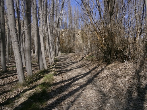
We now come to a bit of a clearing where we can see a large cortijo up to the left on the hill. |
 | Time: 2hr 30 mins.
Location: 100m west of Rio Castril.
GPS: 519220 / 4179003 | Comments:
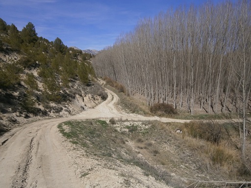
At this junction we can turn either left or right. The 'right option' will take us alongside an irrigation canal with brambles and a very bad path. We decide to follow left along the road. |
 | Time: 2hr 50 mins.
Location: Countryside heading towards Castril.
GPS: 519399 / 4181903 | Comments:
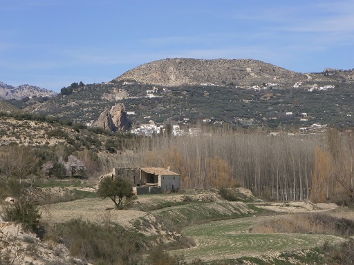
We are now getting close to Castril and can see the town in the distance. |
 | Time: 3hr 10 mins.
Location: El Molino
GPS: 519297 / 4182599 | Comments:
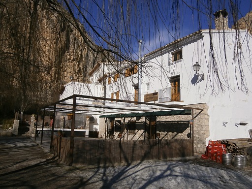
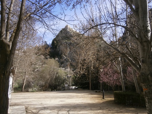
We now see 'El Molino' on the opposite bank of the river. This is well worth a visit. The food is excellent but in addition, it is very interesting. In front is a play area with many artefacts from the days of farming. |
 | Time: 3hr 20 mins.
Location: Pasarela
GPS: | Comments:
We now pass through the tunnel and onto the suspension bridge, thus following the Pasarela to the main road on the other side. |
 | Time: 3hr 40 mins.
Location: Entrance to the Pasarela.
GPS: | Comments:
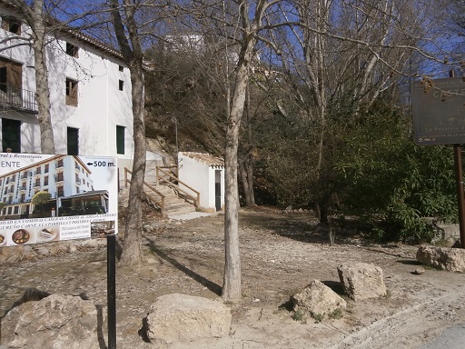
We now climb the steep path which can be found to the right of the large house (which was also once a mill). The path returns us to the town of Castril.
END OF WALK. |

