BEAUTIFUL CASTRIL
CASTRIL - ACTIVITIES FOR EVERYONE | 
|
BEAUTIFUL CASTRIL | |||
| |||
 | Route 14 - Barranco de las Canalejas. |
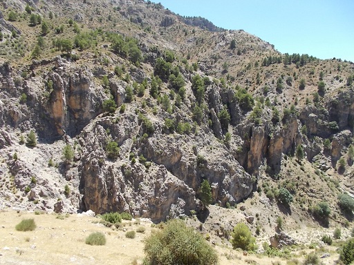 | Time: 0 mins. Location: Cortijo de las Canalejas. GPS: 521755 / 4192704 | Comments: We start this walk from Cortijo de las Canalejas (in ruins) which we arrive at by car, having left the other car at Puente del Pino Hermoso (521171 / 4191479). To get to this cortijo, we drive from Castril (see Route 5) and then take the penultimate exit to the right before the Cortijos del Nacimiento (521834 / 4193210). This turn-off currently has a signpost without the sign. We follow the track, firstly climbing steeply so that we can see the Cortijos del Nacimiento from above as well as the whole of the upper Castril valley. We follow this track through to 'Sierra Seca', and after 4km we come to the end of the track at a ruined cortijo (Cortijo de las Canalejas). We park the car and get ready to start the walk. |
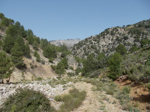 | Time: 0 mins. Location: Cortijo de las Canalejas. GPS: 523100 / 4192098 | Comments: We start out by heading northeast for a hundred yards or so, so that we can descend to the field below the cortijo. From this point, we can see the track that takes us down through the gorge. We stay on the right (north) side of the river following the clearly marked path. If we feel like a scramble, we can cross the river and investigate the caves in the cliffs to our left. |
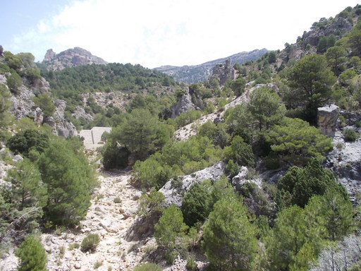 | Time: 20 mins. Location: Water break. GPS: 522784 / 4192039 | Comments: We carry on along the gorge following the waymarkers. The path crosses the river so that we are following the left bank of the river. We come across a large flood break in the shape of a huge stone-built wall. We follow the path to the left of the wall and carry on going down westward. |
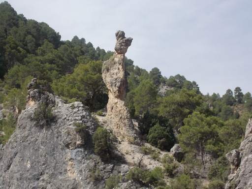 | Time: 40 mins. Location: Barranco de las Canalejas. GPS: 521816 / 4191958 | Comments: After the second floodbreak, we pass amongst an area of very interesting geology and some spectacular cliffs. The path crosses the river at this point so that we are following the southern bank but it is clearly indicated with waymarkers. |
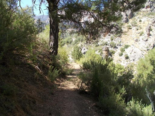 | Time: 1hr 10 mins. Location: Bottom of the gorge. GPS: 521322 / 4191932 | Comments: Eventually, we come back to the road where the other vehicle is parked. END OF WALK. |