 | Time: 0 mins.
Location: A326 Km 35.
GPS: 526853 / 4185911 | Comments:
We leave Castril in a vehicle and take the A326 in the direction of Huéscar. We take the turning to the right that has a signpost of which we can only see the reverse. |
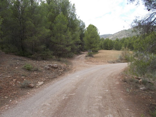 | Time: 0 mins.
Location: Dirt track.
GPS: 526836 / 4185371 | Comments:
We follow the track for 550m whereby we take a track to the right. In about 100m there is a track to the left. We park here. |
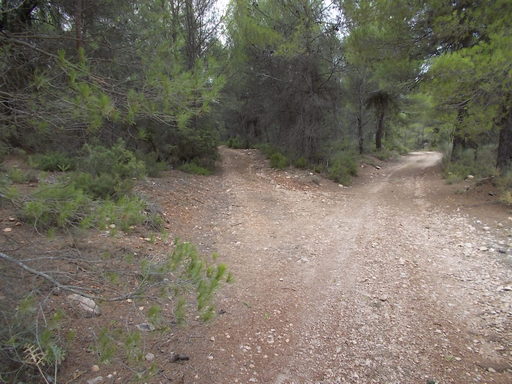 | Time: 0 mins.
Location: Bifurcation.
GPS: 526834 / 4185375. | Comments:
We take the left track and follow it for about 100m whereby we see a narrow track to our left. |
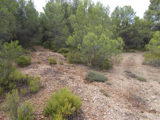 | Time: 10 mins.
Location: Track to left.
GPS: 526774 / 4185374 | Comments:
On our left we see a narrow shepherd's track which we take. |
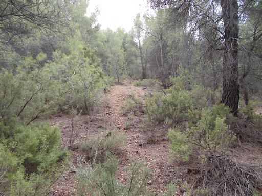 | Time: 20 mins.
Location: The climb.
GPS: 526779 / 4185159. | Comments:
We are now starting to climb at about 1:2 and have lost the path which has petered out. We continue south. |
 | Time: 30 mins.
Location: Peak.
GPS: 526500 / 4184423. | Comments:
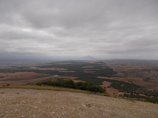
We have now reached the peak of El Cubo and have spectacular views of Castilléjar, Jabalcon and the Sierra de Baza as well as Marmolance to the east (admittedly, not on this particular day!). |
 | Time: 45 mins.
Location: The trig point.
GPS: 526142 / 4184004 | Comments:
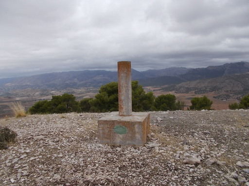
We see to the west a protuberance of rocks and a barren area. We climb up and notice the triangulation point. |
 | Time: 1hr 15 mins.
Location: Peak of El Cubo.
GPS: | Comments:
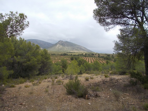
After a walk around the area enjoying the views, we follow the route back to the vehicle. On the way down, we can see the Sierra de Castril and Fátima.
END OF WALK. |

