BEAUTIFUL CASTRIL
CASTRIL - ACTIVITIES FOR EVERYONE | 
|
BEAUTIFUL CASTRIL | |||
| |||
 | Route 19 - The "Badlands". |
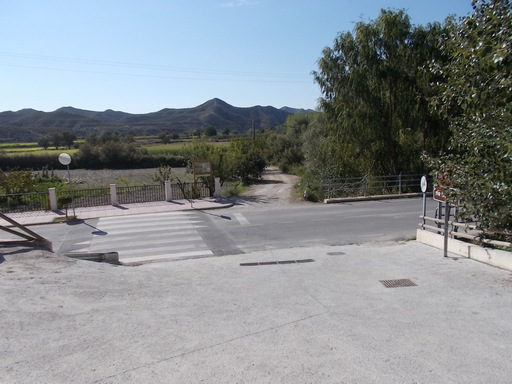
 | Time: 0 mins. Location: Castilléjar GPS: 531462 / 4173807 | Comments: We start at the southernmost part of Castilléjar, crossing the A-4200 and taking the track that follows the northern bank of Río Guardal. We continue following this track which bears round to the right. |
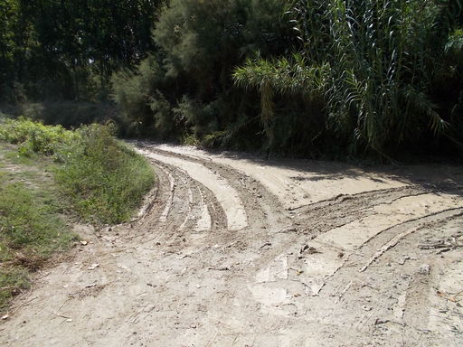
 | Time: 10 mins. Location: Río Guardal valley. GPS: 530893 / 4172468 | Comments: After an enjoyable stroll along the bank of the meandering river, passing the weir and some fields we turn left and follow the track towards the 'Badlands'. |
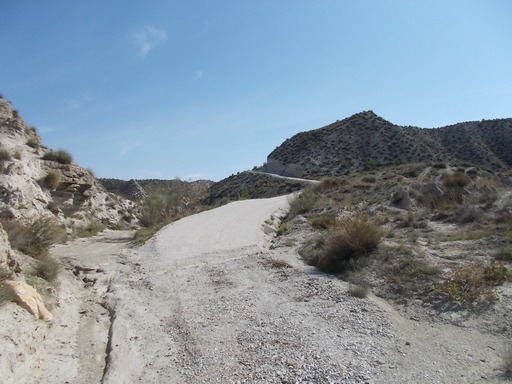
 | Time: 30 mins. Location: The climb up to the "Badlands". GPS: 531254 / 4172270 | Comments: We climb the long track to the summits of the "Badlands". |
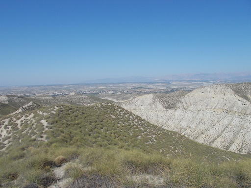
 | Time: 50 mins. Location: The "Badlands". GPS: 533353 / 4171741 | Comments: We are now walking along the peaks of the "Badlands", with views of Jabalcon and the Sierra de Baza to the south, and Castilléjar to the west. |
 | Time: 1hr 10 mins. Location: The "Badlands" - Cueva de Amos. GPS: 532577 / 4171248 | Comments: We pass an old cavehouse on the left that has been unoccupied for many years. Originally it was used by the people who controlled the farming of esparto grass, which was a big industry in this area in past centuries (see Castilléjar museum and here). Depending on how long we want the walk to be, we can continue on to Galera which is 15km from Castilléjar. |