 | Time: 0 mins.
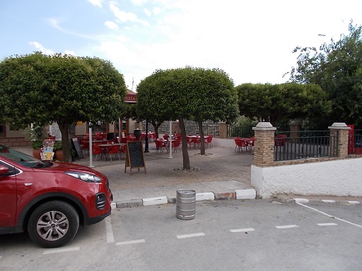
Location: Castril town
GPS: 519399 / 4183240 | Comments:
We start at the main junction in front of Bar Zafra and follow the road that follows down towards the countryside (Calle Nueva del Río). On our left is a tall apartment block. |
 | Time: 3 mins.
Location: Junction of Calle Nueva Del Río and Calle Fuente del Piojo.
GPS: 519245 / 4183277 | Comments:
We take the first turning on the left which drops steeply, with the school on our right. |
 | Time: 5 mins.
Location: Calle Río
GPS: 519286 / 4183204 | Comments:
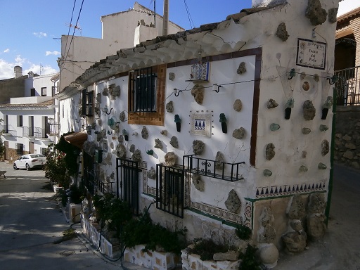
We take the hard right on the corner of the house with stones and artifacts embedded into the fascias. |
 | Time: 10 mins.
Location: Footpath down to Río Castril.
GPS: 519154 / 4183196 | Comments:
At the end of the road we find a footpath that takes us steeply down to the river. |
 | Time: 15 mins.
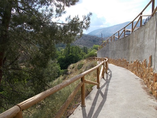
Location: Start of the "Pasarela".
GPS: 519068 / 4183175 | Comments:
We find ourselves at the start of the "Pasarela". We follow the path through the "Pasarela" to the other side of the tunnel. |
 | Time: 25 mins.
Location: Bridge over Río Castril.
GPS: 519275 / 4182698 | Comments:
We find ourselves at the bridge that crosses the river giving access to the mill restaurant and bar. Ignoring the bridge, we stay on the western bank of the river and follow the track. |
 | Time: 45 mins.
Location: Cortijo La Dehesa
GPS: 519335 / 4181994 | Comments:
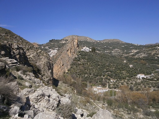
We come across a junction in the track with a road up to the right. On this corner is a large farmhouse with a large cylindrical water tank behind it. |
 | Time: 50 mins.
Location: T junction.
GPS: 519084 / 4182027 | Comments:
Climbing all of the time we take the left fork at the T junction. |
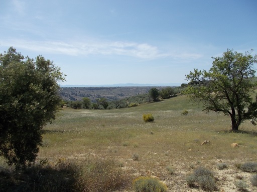 | Time: 1hr 05 mins.
Location: Countryside above the Castril Valley.
GPS: 518590 / 4181457 | Comments:
We come to another T junction. We ignore the track on the left and carry on climbing. |
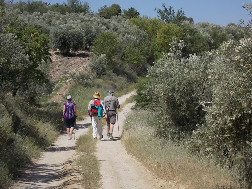 | Time: 1hr 30 mins.
Location: Countryside in Castril Valley.
GPS: 517098 / 4181050 | Comments:
We come upon a double junction whereby we take the right fork, and then the right still climbing uphill. |
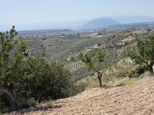 | Time: 1hr 45 mins.
Location: Hill leading up to the fire watch out station.
GPS: 517241 / 4181630 | Comments:
We are now on the last leg of the climb. |
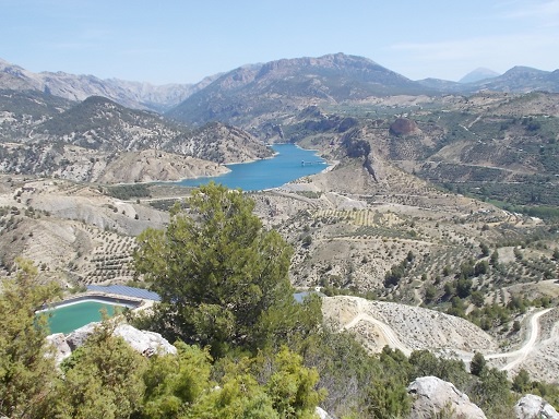 | Time: 1hr 55 mins.
Location: Fire Lookout station.
GPS: 517478 / 4182404 | Comments:
We are now at the Fire Lookout Station where we can rest and prepare for the return to Castril. |
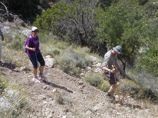 | Time: 2hr 30 mins.
Location: We walk back along the track for about 200 metres until we can find an easy descent through the fields to the lower track.
GPS: 517337 / 4182230 | Comments:
We now find ourselves descending through some fields until we reach the lower track. |
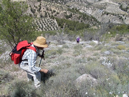 | Time: 2hr 45 mins.
Location: Lower track.
GPS: 517211 / 4182297 | Comments:
After scrambling down through the fields, we turn right onto the track and head back to castril. |
 | Time: 2hr 50 mins.
Location: Campsite
GPS: 518659 / 4183101 | Comments:
We now pass between the campsite on our right and the sewage recycling plant on our left. This plant is quite special in that it uses solar power to pump the treated water back up the hill to irrigate the olive groves behind us. |
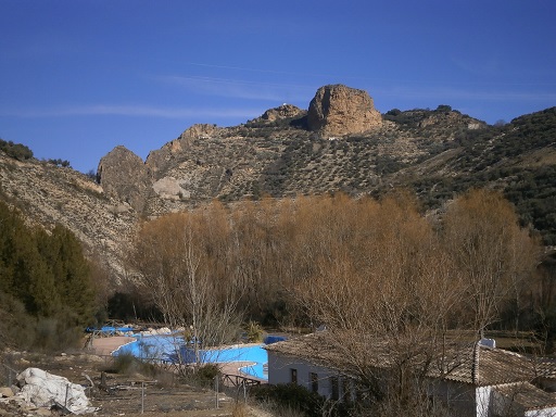 | Time: 3hr 10 mins.
Location: Swimming pool
GPS: 518762 / 4183363 | Comments:
At the bottom of the hill we take the tarmac road to the left, following the 'SALIDA' signs to the point whereby we are standing above the municipal swimming pool in front of the Casa Rural "El Plantillo". |
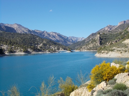 | Time: 3hr 25 mins.
Location: El Portillo Dam.
GPS: 518281 / 4183746 | Comments:
We continue on the road, joining the main Castril - Pozo Alcon road. At the junction we see the reservoir. |
 | Time: 3hr 20 mins.
Location: Return
GPS: | Comments:
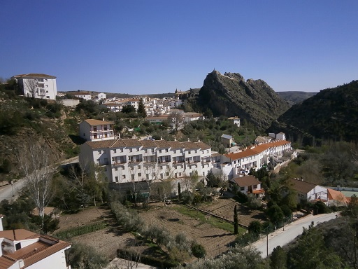
We follow the road over the dam and through the tunnel, finally arriving back at Castril. |

