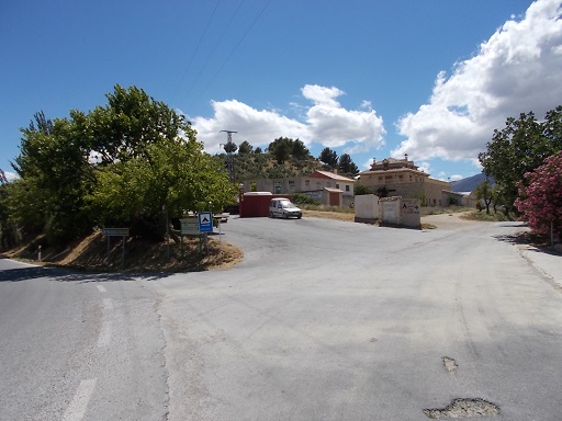
 | Time: 0 mins.
Location: Cortijos del Nacimiento.
GPS: 521938 / 4193740 | Comments:
We start at the cortijos at the end of the road that passes for about 8.5km along the Castril valley. To find this road, one takes the exit to the west indicated by the 'camping' signpost which is between the mechanic's workshop and the Repsol bottled gas supplier on the A326 (520846 / 4185492). We follow the road downhill looking for signs to 'Camping El Cortijillo'. The campsite is actually about half way to the end of the road. We cross a second bridge and we can be sure that we have arrived as there is a large silver water pipe suspended in the air. This feeds the electrical turbine for power in the valley.
|
 | Time: 5 mins.
Location: Track beside fencing.
GPS: 521919 / 4193733 | Comments:
Our walk starts by passing under the water pipe by the information signs, and following the path which has a fence on the left and irrigation canal on the right.
|
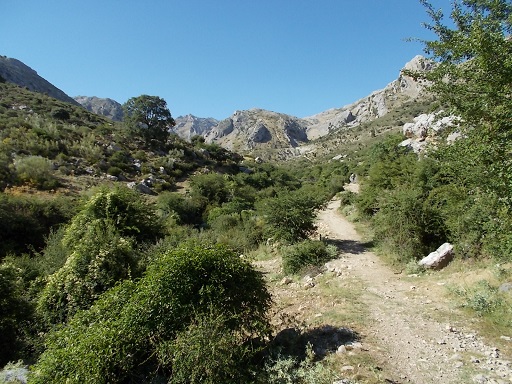 | Time: 20 mins.
Location: End of fencing.
GPS: 522226 / 4194479 | Comments:
When the fencing ends, we find ourselves in the middle of the Castril valley with majestic cliffs to the left. |
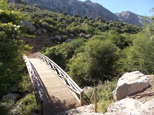 | Time: 25 mins.
Location: Wooden bridge.
GPS: 522289 / 4194586 | Comments:
We follow the path with the river on our left, noting the footbridge which is used on other walks.
|
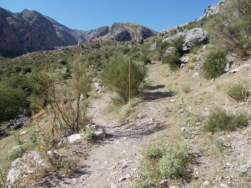 | Time: 30 mins.
Location: Y junction.
GPS: 522352 / 4194772 | Comments:
At the Y junction, we take the left path and then follow alongside the irrigation canal. |
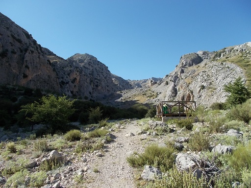 | Time: 35 mins.
Location: Viewing station.
GPS: | Comments:
We come across a viewing station with information about the geological formation of the valley.
|
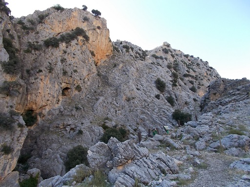 | Time: 50 mins.
Location: Nacimiento.
GPS: 522107 / 4195686 | Comments:
In less than a kilometre we find ourselves looking down onto 'El Nacimiento' - the source of the river. Depending on the time of year there will either be an enormous cascade of water emanating from the rock, or none.
This is now the start point for many other routes. |

