BEAUTIFUL CASTRIL
CASTRIL - ACTIVITIES FOR EVERYONE | 
|
BEAUTIFUL CASTRIL | |||
| |||
 | Route 8 - Barranco de La Osa. |
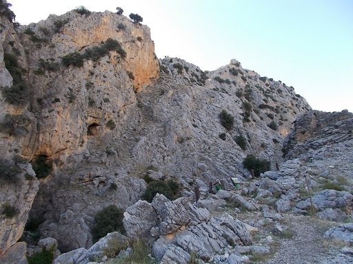 | Time: 0 mins. Location: Nacimiento. GPS: 522106 / 4195683 | Comments: We start at the 'Nacimiento' (see Route 5). This will add 40 minutes to the walk. |
 | Time: 0 mins. Location: Nacimiento GPS: 522106 / 4195683 | Comments: By turning round by 180° thus putting the Nacimiento to our backs, we see the path that will take us further up through the valley. |
 | Time: 15 mins. Location: Castril valley. GPS: 522202 / 4195771 | Comments: As we climb up through the Castril valley, we find evidence of farming activity such as horses and cattle. |
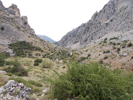 | Time: 20 mins. Location: Castril valley. GPS: | Comments: The path takes us higher, allowing us beautiful views to the rear. We pass a ruined cortijo (Cortijo del Peralejo) which, sadly, is now just a pile of stones. |
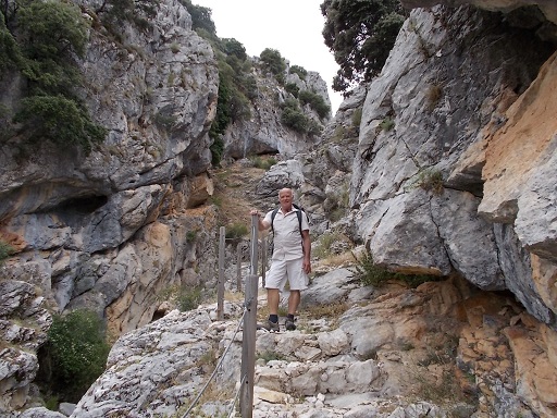 | Time: 30 mins. Location: Barranco de La Osa. GPS: 522300 / 4196414 | Comments: The path now winds round to the left taking us to the bottom of the steps that will take us up through Barranco de La Osa. |
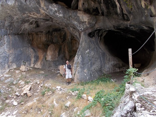 | Time: 45 mins. Location: Cueva de La Osa. GPS: 522177 / 4196651 | Comments: We pass Cueva de La Osa on the right. Not the most profound cave in the area, but quite impressive nonetheless. |
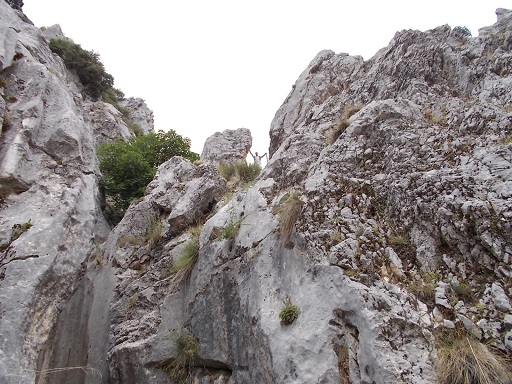 | Time: 50 mins. Location: Ancient yew tree. GPS: 522052 / 4196684 | Comments: After passing an ancient yew tree we find ourselves continuing our ascent (note walker in middle of photograph). |
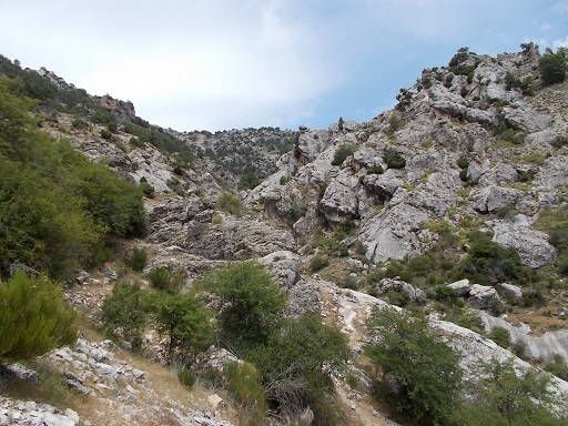 | Time: 1hr 10 mins. Location: Top of Barranco de La Osa. GPS: 522052 / 4196684 | Comments: We finally reach to top of the steps and now have to look for the track which leads up to the left over some difficult terrain. |
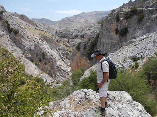 | Time: 1hr 20 mins. Location: Field to the south of Barranco de La Osa. GPS: 521869 / 4196402 | Comments: Looking behind us rewards us with fine views of the top of the barranco, but we haven\'t finished climbing yet. |
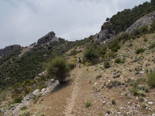 | Time: 1hr 45 mins. Location: Summit. GPS: | Comments: The track now straightens out and we finally reach the summit of our walk. We continue along the track. |
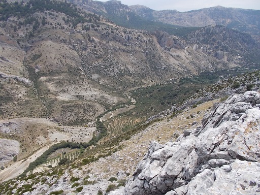 | Time: 1hr 50 mins. Location: Top of cliffs. GPS: 521725 / 4195788 | Comments: We now find ourselves looking down onto the Castril valley, and even onto griffon vultures, kites and eagles. We can see below us the ruined Cortijo del Paralejo and where the car is parked in Los Cortijos del Nacimiento. |
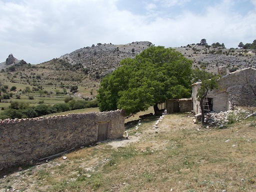 | Time: 2hr 20 mins. Location: Cortijo de La Puerca. GPS: 521764 / 4195403 | Comments: We now find ourselves descending via the long tortuous track, which skirts around Cortijo de La Puerca. |
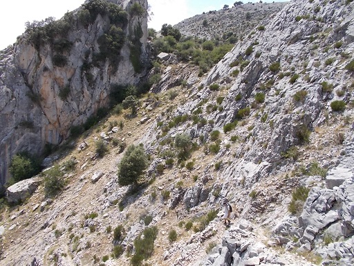 | Time: 2hr 40 mins. Location: Zig Zag. GPS: 521895 / 4195029 | Comments: The track now zig-zags down the side of the mountain right to the valley floor. This can be somewhat uncomfortable walking due to the amount of scree. This track was used to carry wheat and barley on mules in the not too distant past, and there are still people in the town of Castril who remember this. Note the walker in the bottom right of the photograph. |
 | Time: 3hr 15 mins. Location: River. GPS: 522294 / 4194577 | Comments: Finally we find ourselves back at the river, where we can cross either by the stepping stones, or a little further up by bridge. END OF WALK. |